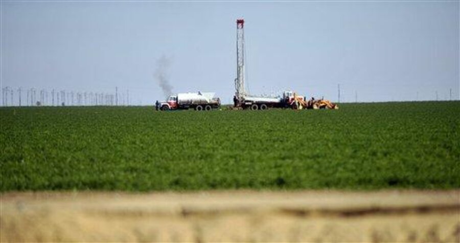
California's groundwater shrinking because of agricultural use
Loading...
| FRESNO, Calif.
New data from satellites show the vast underground pools feeding faucets and irrigation hoses across California are running low, a worrisome trend federal scientists largely attribute to aggressive agricultural pumping.
The measurements show the amount of water lost in the two main Central Valley river basins within the past six years could almost fill the nation's largest reservoir, Lake Mead in Nevada.
"All that water has been sucked from these river basins. It's gone. It's left the building," says Jay Famiglietti, an earth science professor at the University of California, Irvine, who led the research collaboration. "The data is telling us that this rate of pumping is not sustainable."
Hundreds of farmers have been drilling wells to irrigate their crops, as three years of drought and environmental restrictions on water supplies have withered crops, jobs and profits throughout the San Joaquin Valley, where roughly half of the nation's fruits, nuts, and vegetables are grown.
Developers and cities dependent on the tight supplies also have joined the well-drilling frenzy as the crisis has deepened.
NASA scientists and researchers from UC Irvine presented their findings at a recent conference, showcasing data from twin satellites that pick up changes in the aquifers coursing underneath the state.
The NASA mission represents the first attempt to use space-based technology to measure how much groundwater has been lost in recent years in California and elsewhere in the world.
From October 2003 through March of this year, Mr. Famiglietti and his team tracked how Earth's gravitational pull on the satellites changed as the amount of water stored in the Sacramento and San Joaquin river basins dried up.
As river water, snowmelt, soil moisture and aquifer levels declined, the satellites sensed less of a pull to the planet, which allowed scientists to extrapolate over time how much water had disappeared.
More than three-quarters of the loss was due to groundwater pumping in the southern Central Valley, primarily to irrigate crops, researchers found.
If drilling keeps on at the same clip, scientists warned, more wells could start running dry.
"We've known about the conditions in California for a while since it's one of the most pumped aquifers in the United States," says Michael Watkins, NASA's Pasadena-based project scientist for the Gravity Recovery and Climate Experiment mission.
"Hydrologists were just surprised to see that the deep water conditions had dropped so much, since it was more than we had expected," he says.
Editor’s note: The Monitor's Environment section has a new URL. And there's a new URL for its Bright Green blog. We hope you'll bookmark these and visit often.


