The headline so far
Already, it's warmer and wetter.
The region's average annual temperature increased by almost 2 degrees F. between 1895 and 2011. Average annual precipitation rose by 5 inches over that that time. The region's most extreme storms are dumping 71 percent more water as rain and snow today than they did in 1958 – the largest increase for any US region. The sea level has risen by nearly 1 foot since 1900, versus a global average of 8 inches. Land subsidence is a contributor, and perhaps a weakening of the Gulf Stream as well.
Look-ahead
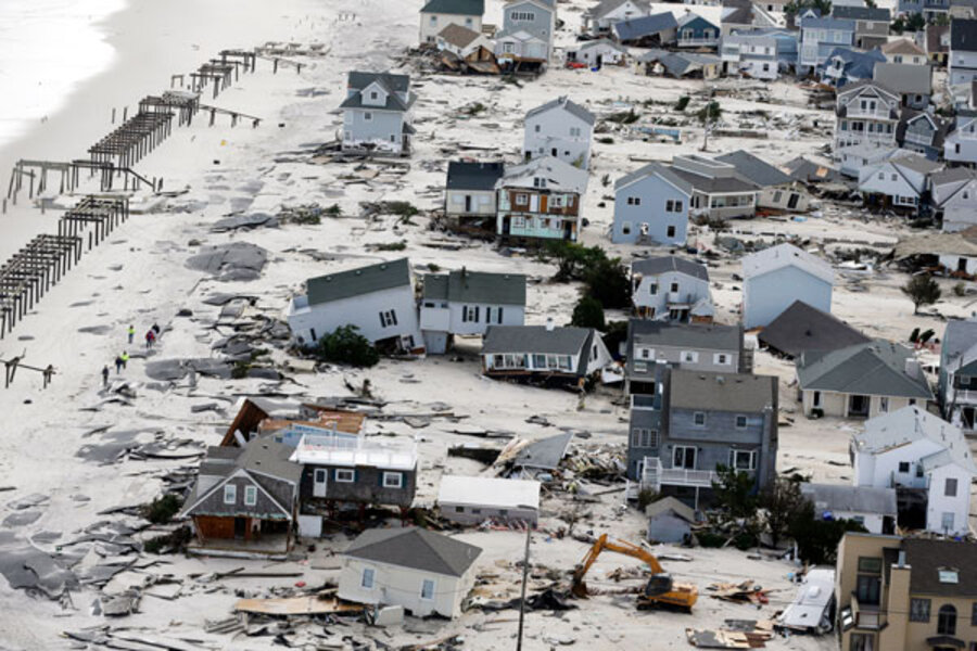
By 2080, average annual temperatures are projected to rise by 4.5 to 10 degrees F. if greenhouse-gas emissions go unchecked. Portions of Maryland, West Virginia, Delaware, and New Jersey could see 60 more days a year with temperatures above 90 degrees, while outbreaks of cold air regionwide are expected to decrease. Winter and spring precipitation are projected to rise, with winter storms alone expected to dump 5 percent to 20 percent more water than they do today. Researchers expect little change in summer and fall rain amounts. This, plus higher temperatures and earlier snow melt, is likely to boost the risk of seasonal drought. Sea level rise is expected to continue to outpace the global average, making coastal areas more vulnerable to storm surges from nor'easters and any tropical cyclones that make their way up the coast.
What's being done?
Of the 12 states in the region, 10 have statewide adaptation plans, and 11 have plans for specific economic sectors. Individual communities also are setting up adaptation plans. On emissions, 10 states have established emission-reduction targets and set up a regional cap-and-trade program known as the Regional Greenhouse Gas Initiative, which covers power plant emissions. Some states have adopted larger emission-reduction targets than others. The 12 Northeast states are West Virginia, Maryland, Delaware, Pennsylvania, New Jersey, New York, Connecticut, Rhode Island, Massachusetts, Vermont, New Hampshire, and Maine.


