
Mexico earthquake: How quake-prone is the region?

Authorities in Mexico are surveying that damage following a magnitude 7.4 quake that struck the country just after noon on Tuesday local time.
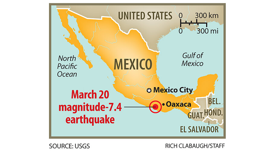
The quake was centered some 31 miles north-northeast of the city of Ometepec, in a mountainous region dotted with villages. The rupture occurred at a depth of about 12 miles, according to estimates from the US Geological Survey's Earthquake Information Center in Golden, Colo.
Given the size of the quake, the population density, the types of buildings in the area, and factors affecting the intensity of shaking, analysts at the center said the quake had the potential to cause up to $100 million in damage and lead to as many as 100 fatalities.
So far, however, no deaths or injuries have been reported. But damage estimates are trickling out from the area. Officials in the town of Igualapa told CNN that more than 800 homes have collapsed. In Ometepec, local officials told the network that roughly half of the homes were heavily damaged.
Shaking from the quake, initially estimated at magnitude 7.9, also was felt in Mexico City, some 200 miles away, sending residents into the streets. According to data from the USGS's “Did You Feel It?” program, people in 14 cities throughout the country and beyond reported that they'd experienced some level of shaking from the temblor. The quake was felt as far away as Guatemala City.
Seismologists have traced the quake to a release of strain associated with a subduction zone that runs up the west coast of Central America and Mexico and stops short of the southern tip of Baja California.
Here, the oceanic crust of the Cocos plate is sliding northeastward under the more buoyant rock of the North American plate – at a pace of some 60 millimeters a year.
The action of the two plates, along with a tiny plate known as the Rivera plate at the northern end of the subduction zone, is responsible for a chain of volcanoes that have formed across the country mainly along a west-to-east line that runs near Mexico City to within about 70 miles of the country's Gulf coast.
In 1985, a segment of the Cocos-North American subduction zone ruptured off of Acapulco, triggering a magnitude 8.1 quake that flattened apartment buildings in Mexico City, killing some 4,000 people.


