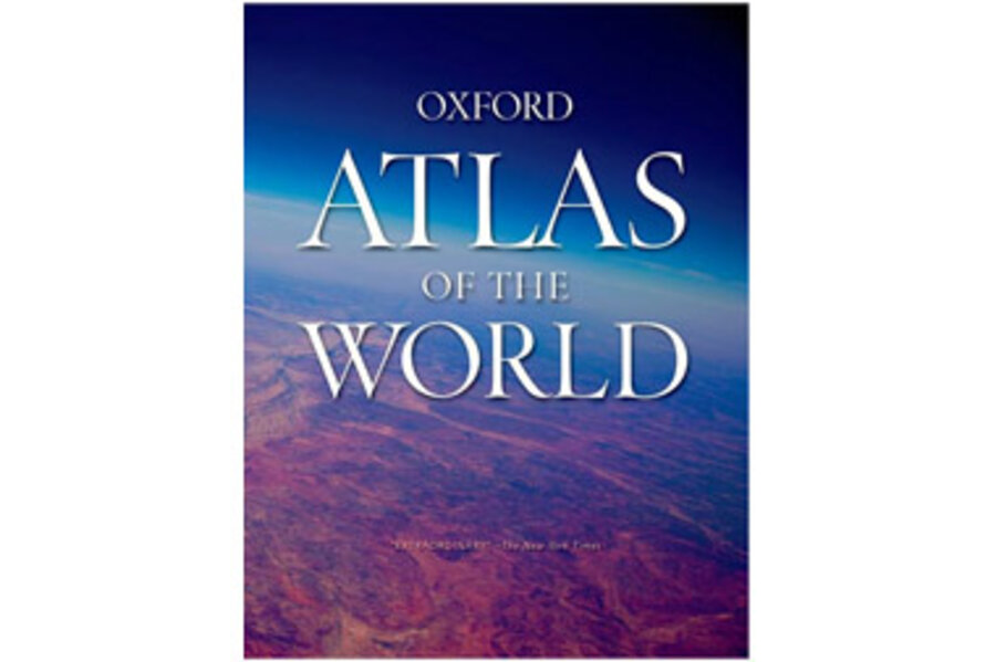
Open to any page in the maps section of the Oxford Atlas of the World, 18th Edition (Oxford University Press, 448 pp., $85.95) and be prepared to be amazed by the three-dimensional feel created by colorful depictions of various regions of the world. This updated edition of the highly regarded Oxford Atlas also includes new census information, dozens of city maps, and information on topics such as the climate, industry, standards of living, agriculture, and population of the nations of the world, in addition to global information on topics like migration and world conflicts, all accompanied by helpful graphs and other charts. Another highlight: the amazing satellite images of Earth that start off many of the chapters.


