Better alerts to feed a hungry world
A new type of survey called the “Waffle House Matrix” has proved to be an odd but effective way to measure the severity of natural disasters in the United States. It looks at whether these famed 24/7 restaurants in an affected area are open or closed. Open means recovery is probably under way. Closed means the situation is still extremely serious.
This example of tracking the effects of a disaster is proving useful for those battling famine, a slower-moving disaster than a hurricane or earthquake. Better data can help beat back an age-old scourge. Satellite images have long provided such information, but now experts are looking at the potential for artificial intelligence and machine learning. At the annual meeting of the United Nations in New York in September, one session debuted a promising new effort to apply the expertise of Google, Microsoft, and Amazon Web Services to the problem of famine.
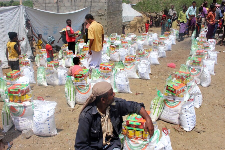
Far from fading away, famine remains a challenge in places such as Nigeria, South Sudan, and Somalia in Africa and Yemen on the Arabian Peninsula. The UN Food and Agriculture Organization estimates that 40 million more people were malnourished in 2017 than in 2015 – despite a concerted UN effort to eradicate hunger by 2030. The causes of famine are many, including drought and other severe weather. But the biggest culprit is man-made: conflicts between warring countries, or within countries, that disrupt farmers from being able to tend their livestock and fields.
The newly announced Famine Action Mechanism, whose members include the trio of tech giants, aims to provide data to local governments and aid agencies that will predict food shortages before they happen.
“Artificial intelligence and machine learning hold huge promise for forecasting and detecting early signs of food shortages, like crop failures, droughts, natural disasters, and conflicts,” said Brad Smith, president of Microsoft, announcing the initiative.
Valuable data can be culled from many places, including cellphone calls, postings on social media – and even the selling price of goats (a sell-off may indicate insufficient water or poor pasture driving owners to sell). The information helps relief agencies and government officials decide where, when, and how to deploy aid effectively, before the situation can worsen.
Satellites already detect spikes in ground temperature in remote areas, which can indicate drought. Each day NASA satellites monitor the condition of about 230 water holes throughout the Sahel region in northern Africa, information that aid groups share with herders.
An even more robust data system could give farmers detailed weather forecasts and daily price reports on crops at local markets. More data could help predict just how much food will be produced in a region that season.
Only two of sub-Saharan Africa’s 46 countries now operate with reliable data about agriculture within their borders, says Rodger Voorhies, head of agricultural development at the Bill & Melinda Gates Foundation. At least 76 countries worldwide don’t know how they’re doing on meeting the UN’s 17 Sustainable Development Goals (one of which is ending hunger) to be achieved by 2030. They can’t be sure if they’re gaining or losing ground.
Countries with poor transportation and communication systems, and unstable governments, have made gathering reliable data difficult. But
efforts such as FAM, which will apply cutting-edge technologies to the ancient problem of famine, could mark a significant step forward in helping these countries eliminate this scourge.


