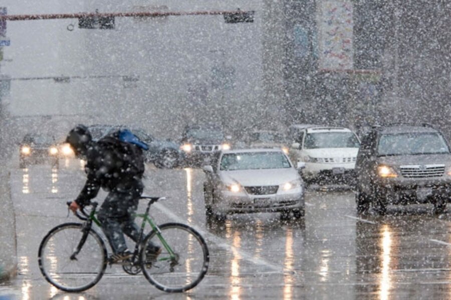
Upside-down snow pattern starts US winter season
| Atlanta
While Boston baked and Chicago chilled, the South got the bulk of the winter’s first lowland snow.
A “kink” in the jet stream pushed cold air into a southern trough that collided with moist air from the Gulf of Mexico. The result was the earliest-ever snow in Houston, beating a record set only last year when snow came to Houston on Dec. 10.
Houston has only seen snow a few dozen times since the Civil War.
As the storm moved east on Friday and into Saturday, pecan groves in Mississippi and cotton fields in Alabama saw unusual early season snow build up. Skiing in North Carolina mountains could start opening thanks to the early snow.
“We have this high amplitude pattern with a big kink in the jet stream, which funneled large amounts of cold air into Texas while it was warm in Boston and on the West Coast,” says Jeff Masters, founder of Weather Underground. “It’s interesting to note that Chicago has only had a trace of snow this year while Houston” had over an inch in some places.
As the cold and snow moved into the Appalachian Mountains on Saturday, West Virginia’s Kanawha Valley expected record cold weather after the snow moves on, closing in on a record low of 13 degrees set in 1974. The snowy front moved up the mid-Atlantic states Saturday, dropping up to four inches in some spots before moving into New England, where it’s looking a lot like Christmas right now.
Friday’s big-flake conditions in the Deep South was a precursor for what promises to be a snowy week across the US. High-altitude areas of Nevada, California, and Colorado are all expecting favorable snow conditions next week as the jet stream is expected to deliver moist subtropical air into the chilly western plateaus.
Meanwhile, Mr. Masters wasn’t ready to call the peculiar southern snow belt global cooling.
“Let’s call it a random variation in weather,” he says.


