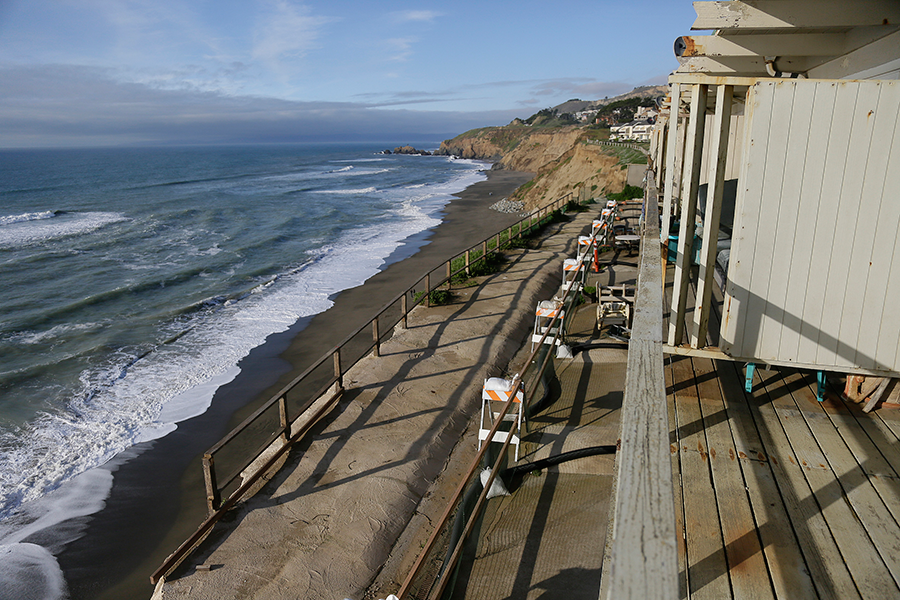
How your photos can help scientists track coastline erosion
Loading...
Science is offering people the perfect excuse to play on their smartphones at the beach.
The Nature Conservancy is asking people to use their phones and drones to photograph flooding, landslides, erosion, and other storm damage along California’s beaches and then upload the geotagged images to Flickr and other platforms. It's all about enlisting the public’s help to document El Niño’s impact on California’s coast
“People often ask me what they can do about sea level rise,” Sarah Newkirk, a coastal project director at the conservancy, said in an announcement.
“The best thing is to be aware and plan. Expect the expected. We know El Niño is going to happen – just like we know sea level rise is happening. Participate in the monitoring and use the maps to prepare not only yourself and your property, but also your community for these changes,” she said.
Understanding the effects of this year’s El Niño, expected to be the strongest on record and one that will significantly impact coastlines and cities, will help city planners and scientists prepare for a wet and stormy future, says the conservancy. Climate change is expected to bring stronger and more frequent storms that will affect the coastlines, and the animals and people who dwell there.
“This El Niño will serve as our crystal ball, giving us a glimpse of what we can expect in the future,” Nature Conservancy said in video introducing the project.
Nearly a half-million people in California and $100 billion in property and vulnerable infrastructure such as schools, power plants, and highways will be at risk of destructive flooding during a major storm if the sea level rises from 3.3 to 4.6 feet. This could happen by 2100, according to 2009 projections by the Pacific Institute in a study commissioned by three state agencies.
The images collected by the public in this coastal mapping project will allow the conservancy, which wants to protect 200,000 acres of coastal habitat in California by 2100, to produce an open-source map with data about flood-prone areas, erosion events, and property damage. Coastal planners will be able to use the information to plan for sea level rise and better predict future trends.
As for the conservancy, the real-time data collected by the public throughout the state will allow the organization to check whether the models it uses to predict flooding are accurate.
“We use these projected models and they don’t quite look right, but we’re lacking any empirical evidence,” Matt Merrifield, the Nature Conservancy’s chief technology officer, told The Associated Press. “This is essentially a way of ‘ground truthing’ those models,” he said.
This is not the first time scientists have turned to the public for help in documenting natural phenomena. Citizen scientists have documented firefly sightings to help scientists track their geographic distribution, tracked the migration of monarch butterflies from Canada to Mexico and planted milkweed to help conserve them, and used ultrasonic microphones and sonograms to record bat calls to help scientists understand their dramatic declines in North America.


