Climate change could redraw national borders
In the past, national borders were determined by war, revolution, or, as is the case with many former colonies, someone in a pith helmet doodling on a map. But in the 21st century, the job could be done by global warming.
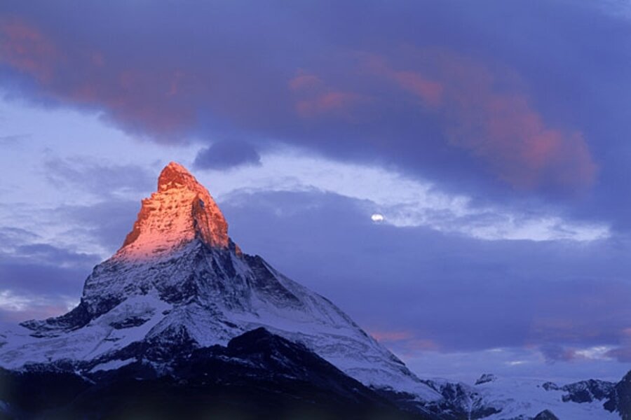
For instance, the 463-mile border between Italy and Switzerland runs mostly through the Alps, and has remained more or less fixed since Italy became a unified state in 1861.
Seeking to define the border more precisely, a 1941 convention between the two countries established the demarcation as running along the ridge crest of the glaciers in the mountain range.
But as the Alps experience the warmest period in 1,300 years, those glaciers are beginning to recede, moving the border northward. As the Discovery Channel reported in May, measurements taken at the Monte Rosa massif found that the border has shifted hundreds of feet in some places, with most of the change in the past five years. Now the two countries are at work redefining their boundaries, this time basing them on rock, not ice. Italy plans to make similar arrangements with France and Austria.
A shifting border in an unpopulated area between two stable democracies is unlikely to spark conflict, but climate change affects more than just Europe. As the Economist noted on Monday, melting glaciers are likely to play a role in the disputed sections of India's borders with Pakistan and China.
Rising global temperatures are also changing borders near the North Pole. As the formerly impenetrable ice in the Arctic Circle gives way to navigable waters, Russia, Norway, Canada, the US, and Denmark are all scrambling to secure shipping routes, oilfields, and mineral deposits.
In August 2007, a Russian deep-sea submersible planted a titanium flag in the seabed three miles below the surface at the North Pole. Expedition leader and deputy speaker of parliament Artur Chilingarov announced, "We are here to define the outer limit of Russia's territory."
Melting ice may increase the land area of some countries, but for most countries it will do the opposite. The UN climate panel predicts that up to one-fifth of Bangladesh – one of the world's most densely populated countries – could be submerged by the end of the century. As the Economist article notes, India has already built a 2,560-mile fence along the border to keep Bangladeshis out.
Other countries could disappear entirely. Last November, Mohamed Nasheed, the first democratically elected president of the Maldives, announced plans to establish a fund to buy land elsewhere in the event that the Indian Ocean island nation were to become inundated. Also facing extinction because of rising sea levels are the nations of Tuvalu, Kiribati, the Marshall Islands, and Fiji.
These days, you can tell how old a globe is by looking for signs of geopolitical changes, such as the breakup of the Soviet Union or the independence of East Timor. If warming continues unabated, perhaps someday you will be able to date your globe by looking at the shapes of land masses, or whether they are there at all.
–
Follow Eoin on Twitter.


