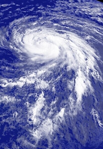
Next-gen storm trackers open window on Hurricane Bill
Earlier today, experts heralded the arrival of big, bad Bill, the first major hurricane of 2009. Experts expect Bill to pass northeast of Puerto Rico in coming days, before barreling towards Bermuda. Already, tropical storm Ana has touched South Florida, while tropical storm Claudette, at one point expected to be a monster, has dumped rain over Alabama and Florida.
Welcome to hurricane season 2009. Same as last year's hurricane season? Not exactly. After all, these days, we live in the age of social media, where every trend – micro or macro – is tracked carefully by the digital mob. Why should hurricane watching be any different? Amateur meteorologists now have a host of options to track developing storms, from Twitter feeds to Facebook status updates.
Among the best tools is Emicus, a site – now in beta – produced by the US Emergency Operations Center. Emicus collects real time date from a host of sources, including government agencies, newspapers, and social networks, and organizes it in a "real-time interactive geospatial interface." Sounds abstract, but in practice, the site is surprisingly easy to use. The Hurricane Tracker page, for instance, is anchored by a Google Maps view of the United States.
Users can click through current storms – listed on the left of the page – and view both storm tracks, and community reports from the affected regions. At the same time, the site aggregates tweets from across the country, and flood reports from the major weather services. Emicus is also experimenting with a functionality called I'm OK, which allows folks to tell friends and family that they're safe. "This reduces load on the phone system," Emicus says on its site.
"We are preparing to go to either the Carolinas or Florida this coming Wednesday to work on-disaster-site operations so there will be a lot of on-site reporting," writes Yobie Benjamin, a columnist and an official advisor to Emicus. "Our web site is undergoing last minute tweaks. Satellite phones, Broadband Global Area Network (BGAN) satellite Internet systems, cameras, laptops, trucks and generators are getting ready for staging."
Of course, Emicus isn't the only site providing crowd-sourced information on storm season. A simple search of Twitter, for instance, is a good way to keep track of a hurricane – and to click through user-generated pictures of storms as they hit land. Over the past year, a handful of developers have also begun to release hurricane tracker applications.
An app called Tracking the Eye, for instance, churns out data culled from public advisories, strike probabilities, current position, and satellite photos. Meanwhile, Hurricane Ready, an application developed by a company called Thirtynine, compiles information on water levels, food safety, and hurricane history. You can find many more hurricane apps through a simple iTunes search.
----
Pick out the best – in the comments section or on Twitter, @CSMHorizonsBlog – and we'll collect your suggestions in an upcoming post.


