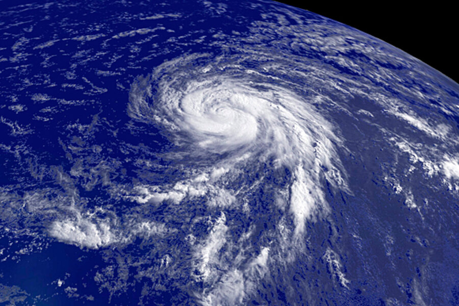
Hurricane season forecast: seven storms to reach land
Loading...
| New York
America may have already had a “snowicane” this year, but now some weather forecasters are focusing on the real thing – you know, those monster storms with names like Donna or Andrew that pelt the coast with 100-mile-per-hour winds, massive amounts of rain, and tidal surges.
Joe Bastardi, the first private weather forecaster to look this year at the 2010 hurricane season, thinks it will be a rough one.
“This year has the chance to be an extreme season,” says Mr. Bastardi, AccuWeather.com’s chief long-range meteorologist in State College, Pa. “There will be a major bounce back of activity.”
IN PICTURES: Notable hurricanes in the past two decades
Last year was a light hurricane season, with the fewest storms since 1997. Last March, Bastardi correctly predicted that it would be a below-normal storm year. But this season, he says, seven storms will reach land, and five of those will be hurricanes. Of those, two or three will be major events along the coastal United States.
“This hurricane season is going to be a lot more like 2008 than 2009,” he says. Two years ago was a very active hurricane season, with five major storms that included hurricane Gustav, which produced $6.6 billion in damage.
In early December, William Gray and Philip Klotzbach of Colorado State University issued an early assessment of the 2010 season that called for three to five major hurricanes. “We estimate that activity will return to levels more typical of years during an active era, such as what we have experienced since 1995,” wrote the forecasters. They will issue an updated forecast April 1.
The National Oceanic and Atmospheric Administration (NOAA) will issue its hurricane forecast in late May and will then update it in early August.
Bastardi says he would not be surprised if the first hurricane of the season is spotted in June – something that could affect Florida or the Southern coast. However, the bulk of hurricane activity is usually in August and early September. The hurricane season officially runs from June 1 to Nov. 30.
Last year, the water temperatures in the South Atlantic were cooler than normal, which inhibited hurricane development. But that has changed, he says, and water temperatures in the storm breeding grounds of the Atlantic are already warm. “It looks like a bathtub out there,” he says.
Unlike last year, when dry air off Africa disrupted storm formation, humidity is returning to the Atlantic basin, Bastardi says. Higher humidity levels provide additional upward motion in the air and contribute to tropical storm development, he says.
At the same time, the El Niño event, a strong current that forms in the Pacific but affects weather in North America, is rapidly dissipating. The years when an El Niño has reversed have been strong hurricane seasons.
Bastardi says that the atmospheric conditions remind him of 1964, 1995, and 1998. All were active hurricane seasons. In 1964, hurricane Cleo clobbered Florida, brushing Miami. In 1995, hurricane Opal pounded Pensacola, Fla., resulting in $3 billion in damage. And in 1998, hurricane Bonnie caused extensive damage around Wilmington, N.C.


