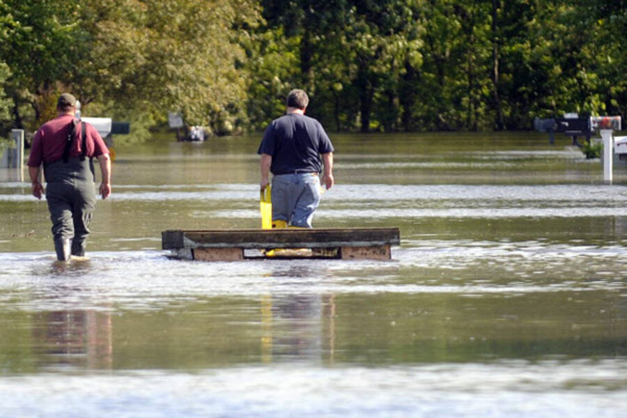
Monsoon in the Midwest: Records fall as Mississippi floodwaters rise
| Chicago
Just how wet is wet?
Behind the flooding occurring along the Ohio and Mississippi Rivers – which on Monday necessitated blasting away portions of a Mississippi River levee in order to save Cairo, Ill., and other towns – is the extraordinarily wet spring that parts of the Midwest are having, with rainfall totals in many areas around four times average.
To put it into perspective: In the past month, Paducah, Ky., has seen nearly 22 inches of rain, compared with an average of 5.4 inches. Louisville, Ky., has also had an April that’s four times wetter than normal: 17.3 inches of rain compared with an average of 4.3.
Farther north, the Cincinnati area has seen nearly four times as much rain as in a typical April, and to the south, in Memphis, Tenn., last month was two-and-a-half times wetter than usual. In one three-day period last week, the city had more than 7 inches of rain.
“A lot of times you have heavy rain events that affect a small area,” says Dave Houk, a senior meteorologist with AccuWeather.com. “What has been so amazing about the pattern that has set up here is that these areas have had heavy rainfall that is so persistent, affecting the same places. It’s really ended up dumping a lot of water into those river basins.”
1927 & 1937 records may fall
The result: River crests that, in many places, may equal or surpass records set in 1927 and 1937.
On Monday, the Army Corps of Engineers blasted a two-mile hole in a Mississippi River levee above Cairo, where the water had reached a record 61.7 feet and was predicted to rise more than another foot. By Tuesday, the water had already dropped to 60 feet.
The controversial blast flooded 130,000 acres of farmland in southeast Missouri, but likely saved the town of Cairo, situated right where the Ohio River meets the Mississippi.
Now, as the flood danger moves downriver and threatens other towns, the corps is weighing whether to inundate more lands.
Already, the river’s height in some places is setting records. Wednesday morning, the river at Caruthersville, Mo., – at the far southeast tip of the state – exceeded the old record of 46 feet. And the National Weather Serivce is predicting significant flooding in the lower Mississipi, in Tennessee, Arkansas, and Louisiana, over the next several weeks. In Memphis, Tenn., the prediction is for a crest of 48 feet by next Wednesday, close to the record there of 48.7 feet.
Drought-stricken areas to see floods
And in Natchez, Miss., the NWS is predicting the river to rise to a record-breaking 65 feet by May 22. The previous record, set in 1937: just over 58 feet.
Ironically, though rains have caused the flooding, some of the areas at risk now are in a drought.
New Orleans, for instance, has only received a quarter inch of rain since April 1 – 6 percent of its normal rainfall.
“That’s the nature of this beast,” says Mr. Houk. “It rolls on down.”


