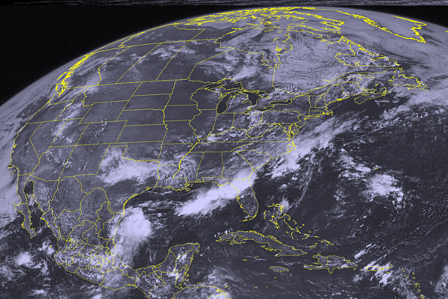
Tropical storm Isaac: GOP's Tampa convention likely to be wet, but how wet?
Loading...
Tropical depression 9 graduated to tropical storm Isaac Tuesday afternoon, and overnight, many long-range forecast models had converged on the length of western Florida or the eastern Gulf Coast as the likely areas for an eventual US landfall.
Indeed, the National Hurricane Center in Miami currently anticipates that, by 8 a.m. Monday, the center of a hurricane Isaac will be located just off Florida's southwest coast some 65 miles east of Homestead, Fla., although the errors in such forecasts so far in advance are large – some 225 nautical miles east or west of that projected track.
Depending on the whim of atmospheric steering winds, Isaac could arrive at or near Tampa, Fla., the site of next week's Republican National Convention, by Tuesday. The convention is slated to run Aug. 27-30.
For now, forecasters have posted tropical storm warnings and hurricane watches for most of the major islands in the eastern Caribbean, including Puerto Rico and the Dominican Republic. At 11 a.m. Eastern Daylight Time on Wednesday, Isaac's center was located some 230 miles east of Guadeloupe, an island in a long island arc forming the boundary between the Atlantic Ocean and the Caribbean Sea.
Isaac's maximum sustained winds were hitting 45 miles per hour, with the tropical-storm-force winds extending as many as 60 miles from the storm's center.
Forecasters say they expect Isaac to dump from 4 to 8 inches of rain on the Leeward Islands, which include Guadeloupe, with rainfall of up to 6 inches over Puerto Rico. The storm could bring storm surges of from 1 to 3 feet.
Changes in weather patterns influencing Issac's projected path have nudged the storm's track somewhat east of the path forecasters had projected at midday Tuesday.
Instead of skirting the south coasts of the Dominican Republic, Haiti, and Cuba's southeast coast, Isaac is now set to track across the southernmost tip of the Dominican Republic, near its border with Haiti, and over Port-au-Prince from Friday into Saturday, according to the latest forecast.
The track could represent some modestly good news for Haiti's beleaguered capital, which is still struggling to recover from the effects of a devastating earthquake that struck two years ago. Isaac is expected to drop from hurricane to tropical-storm status after its encounter with the mountains that stretch along the border of the two countries.
Even so, the storm could bring between 8 and 20 inches of rain to the island that the two countries share, triggering flash floods and mudslides, forecasters say.
Once it leaves Haiti and clips the eastern end of Cuba, Isaac currently is projected to make a beeline for Florida's southwest coast, returning to hurricane status as it does.
In addition, forecasters are tracking tropical depression 10, which formed Wednesday from a broad patch of storms in the tropical Atlantic, roughly midway between Africa and the Leeward Islands.
Forecasters currently see this disturbance becoming a tropical storm within the next 24 hours, following a course toward the US eastern seaboard. By 8 a.m. Monday, the forecast suggests, a tropical storm Joyce will be located some 430 miles south of Bermuda.


