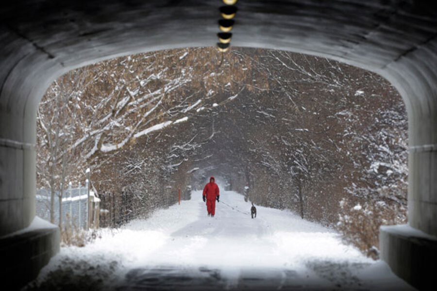
Winter storm Hercules targets Northeast with blizzard conditions and unusual cold
Loading...
| Washington
A major winter storm is bearing down on the northeastern United States Thursday with significant snowfall, unusually cold temperatures, and blizzard conditions expected.
Blizzard warnings have been issued for the coast south of Boston and for Long Island. About 14 inches of snow is predicted for the Boston area and 8 to 10 inches on Long Island, where wind gusts could hit 45 miles an hour.
“We are going to see a lot of snow and a lot of wind,” Jason Tuell, director of the eastern region of the National Weather Service told The Associated Press. The wind chill could make it feel 10 degrees below zero or colder in some areas, he said. The worst of the storm will be felt Thursday evening, forecasters said.
“The temperatures will be extreme,” Massachusetts Gov. Deval Patrick said at a press conference where he announced state office buildings would close at 3 p.m. Thursday. The governor said that some portions of the Bay State could see wind chills drop as low as 25 degrees below zero.
“This is likely to be the coldest weather for much of the Northeast since January 2009,” AccuWeather meteorologist Bernie Rayno said.
Meanwhile, the upper Midwest continued in a deep freeze with bitterly cold air affecting areas from the Dakotas to Minnesota, Wisconsin, Iowa, and Michigan. The temperature in International Falls, Minn., hit 42 degrees below zero early Thursday morning, AccuWeather said.
The storm dropped as much as a foot of snow on parts of Michigan and 6 inches or more in Illinois, clogging air traffic at Chicago’s busy O’Hare Airport and elsewhere. Overall, the storm contributed to 1,569 flight cancellations and 2,924 flight delays, according to data from Flight Aware. By Thursday night, the storm could affect as many as 20 states with a total population of some 120 million people, forecasters said.
A National Weather Service study found the US experiences an average of 10.7 blizzards per year, with the number of annual blizzards ranging from a low of one in the winter of 1980-81 to a high of 27 during the winter of 1996-97.
“A blizzard is a condition, not an amount of snow,” notes Boston-area meteorologist David Epstein. A blizzard occurs when snow reduces visibility to less than a quarter of a mile for more than three hours, accompanied by winds of 35 miles per hour or more. So it is possible for a blizzard to occur even when snow is not falling, as long as snow that is already on the ground is being whipped by fierce winds, thus reducing visibility, says Weather Channel meteorologist Stu Ostro.
• Material from The Associated Press and Reuters was used in this report.


