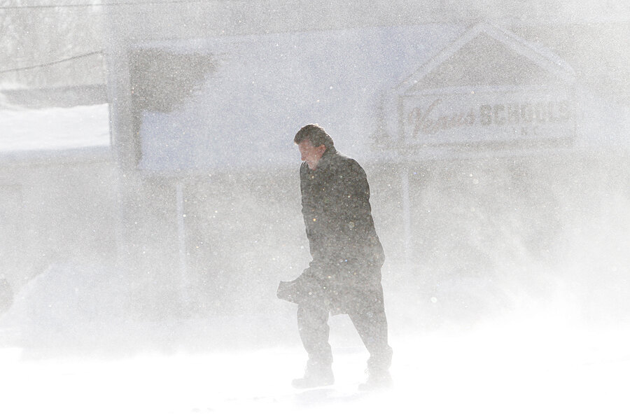
Snowstorm exits, but temperatures stay frigid. Why so cold?
As they lean into their snow-shoveling for warmth, New Englanders might be wondering why a nor'easter that dumped more than a foot of snow across several Eastern states, left such exceptionally cold temperatures in its wake.
Winter storm Hercules, which hit the Eastern Seaboard between Thursday and Friday, was what meteorologists call "well organized," meaning that at least three major factors converged to produce a lot of snow and a lot of cold. An Arctic air mass descended through Canada and hit the warmer Atlantic, where the system both gathered moisture and sucked the water's warm energy upward – at just the same time that a jet stream arrived from Alaska, delivering turbulent, eddy-riddled air.
"The jet stream moves in response to temperature differences," explains Matthew Belk, a National Weather Service meteorologist. "Nature is always trying to restore balance with itself. Every bit of weather that we have is a result of an imbalance that was generated."
Temperatures on Friday rose no higher than 19 degrees F. in Philadelphia, 13 degrees in Boston, and 8 degrees in Portland, Maine, and the windchill factors prompted warnings about frostbite. Weather.com reported that Portland's temperature of plus 8 degrees "feels like" minus 8.
How can temperature be so subjective? Air temperature is measurable, and human skin is great at sensing its fluctuations, but wind alters people's perception because it skims away their own body heat, Mr. Belk explains. That's why thick winter clothes can help significantly: they isolate a body's warmth from the wind's thieving fingers.
"If you are shoveling, snow blowing, be sure to take breaks," writes Boston.com meteorologist David Epstein, adding that it doesn’t take long for frostbite to take effect.
Hercules' strong winds also triggered coastal flooding, by preventing waters from receding completely at low tide. The resulting rush of pent-up waters at high tide flooded streets in some sea-side towns south of Boston.
While those in the East could enjoy a temperature reprieve reaching into the 40s this weekend, those in the Northern Plains and Upper Midwest will experience what may be the coldest and most dangerous temperatures of the year, according to the National Weather Service.
The northern polar vortex, which is a semipermanent cyclone that hovers around the north pole, is expected to drop down from central Canada by Saturday, slamming Fargo, N.D., with temperatures between minus 6 degrees and minus 34 degrees – far below the levels at which salt can help keep roads and sidewalks safe.
When that air reaches the East Coast Monday night, as is forecast, New Englanders could experience a sudden temperature plunge – potentially bringing Boston from a Monday high of 50 degrees to a Tuesday high of 15.
"We're kind of oscillating," says Belk. "It's going to bounce back and forth before it balances out."


