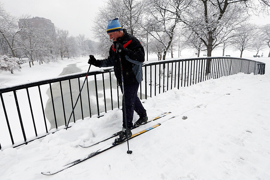
Blizzard bears down on East Coast. But is this one really different?
Loading...
Much has been made of the blizzard that's beginning to hit the East Coast. New York City Mayor Bill de Blasio called it “the biggest snowstorm in the history of this city.” States are announcing travel bans, many flights and school sessions have already been canceled, and power outages are a prime concern. Concerned citizens from Manhattan to Maine have been flooding supermarkets to stock up on necessities.
But what sets this snowstorm apart from other ones?
According to the National Weather Service, a snowstorm attains blizzard status when, over a period of at least three hours, winds reach 35 miles per hour and blowing snow reduces visibility to less than a quarter of a mile.
Over the weekend, this particular storm, which The Weather Channel has dubbed winter storm Juno, was in its infancy, hovering above the upper Midwest and dropping modest amounts of snow on its way to the coast. But by Monday morning, a piece of atmospheric energy lent the storm particular strength and caused the jet stream to enter the Southeast.
Drawing moisture from the Gulf of Mexico, the jet stream took on a “negative tilt,” said Terry Eliasen, a meteorologist with WBZ-TV in Boston. This in turn caused the jet stream to become stationary over the Atlantic, which has brought the storm in its full force to eastern coastal areas.
Furthermore, a strong, cold area of high pressure in eastern Canada is expected to supply a continuous source of cold air that will keep precipitation frozen, thus bringing about heavy snowfall. It is also expected to create a strong pressure differential that causes powerful winds. This combination of meteorological phenomena is what could potentially make for an exceptionally intense storm.
Yet there is no guarantee the storm will be much worse than other serious ones. Boston, for example, would need to see at least 18.7 inches of snow for this to be a Top 10 storm, and more than 25 inches to be among the Top 5.
“I'd say there's a 50-50 shot at hitting 19 inches of snow, but only 20 percent we hit 2 feet. This is why there are ranges. There's a small chance we hit 30 inches in Boston, but that's likely around 5 percent,” wries David Epstein, a meteorologist and correspondent for Boston.com.
However, for coastal areas in New England, including Cape Cod, authorities have warned that winds could reach close to hurricane strength, about 75 miles per hour. And it would seem that no part of New England will be spared the storm's force. The most impact will be in “central Mass. to the Metrowest [Boston] area, and then into Rhode Island and northern Connecticut,” Rebecca Gould, a National Weather Service meteorologist, told The Boston Globe.
More than 50 million people live in the projected path of the storm, and governments across the Northeast are urging residents to head to their homes as early as possible Monday evening and then stay off the roads. The good news, however, is that all major cities are fully equipped with snowplows, salt, and other resources to deal with the storm, and meteorologists expect that citizens should be able to go back to business as usual by Wednesday afternoon at the latest.


