
Modern technology finds the lost city of Mahendraparvata
| SYDNEY
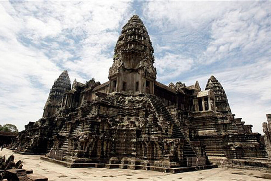
Airborne laser technology has uncovered a network of roadways and canals, illustrating a bustling ancient city linking Cambodia's famed Angkor Wat temples complex.
The discovery was announced late Monday in a peer-reviewed paper released early by the journal Proceedings of the National Academy of Sciences. The laser scanning revealed a previously undocumented formal urban planned landscape integrating the 1,200-year-old temples.
The airborne lasers produced a detailed map of a vast cityscape, including highways and previously undiscovered temples, hidden beneath dense vegetation atop Phnom Kulen mountain in Siem Reap province. It was the lost city of Mahendraparvata.
"What we have now with this instrument is just 'bang' — all of a sudden, an immediate picture of an entire city that people didn't know was there before, which is remarkable," University of Sydney archaeologist Damian Evans, the study's lead author, told Australia's The Age in a video interview from Cambodia. "So instead of this kind of very long gradual process, you have this kind of sudden eureka moment where you bring the data up on screen the first time and there it is — this ancient city very clearly in front of you."
The laser technology, known as lidar, works by firing laser pulses from an aircraft to the ground and measuring the distance to create a detailed, three-dimensional map of the area. It's a useful tool for archaeologists because the lasers can penetrate dense vegetation and cover swaths of ground far faster than they could be analyzed on foot. Lidar has been used to explore other archaeological sites, such as Stonehenge.
In April 2012, the Australian researchers loaded the equipment onto a helicopter, which spent days crisscrossing the dense forests from 800 meters above the ground. The team then confirmed the findings with an on-foot expedition through the jungle.
"We had reasonable expectations, I guess, of what we would find using the lidar data, but what we've ended up with has just blown our minds," Evans told The Age. "It's just absolutely incredible what we can see."
The researchers theorize the civilization at Mahendraparvata eventually collapsed because of deforestation and broken canals and reservoirs.


